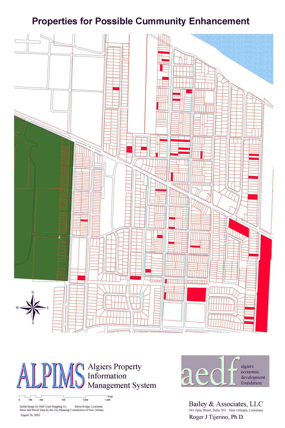
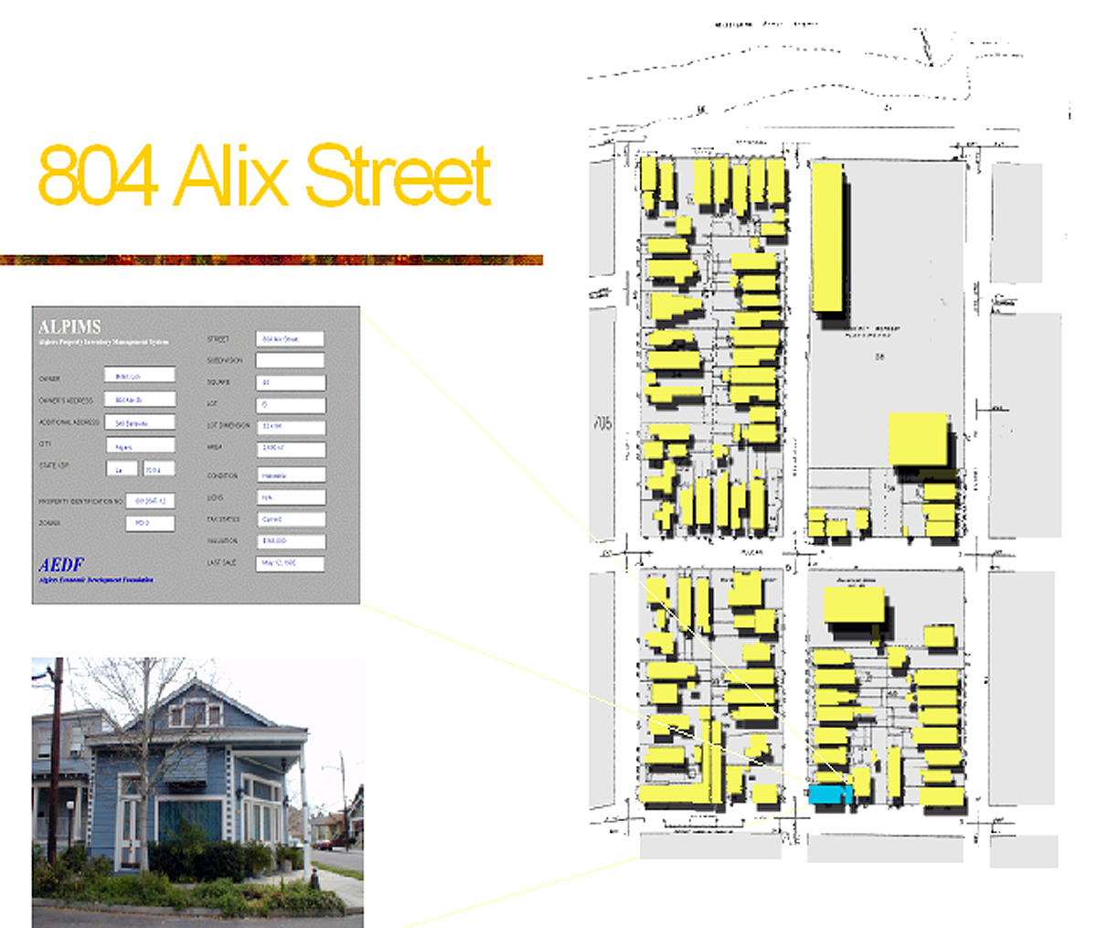
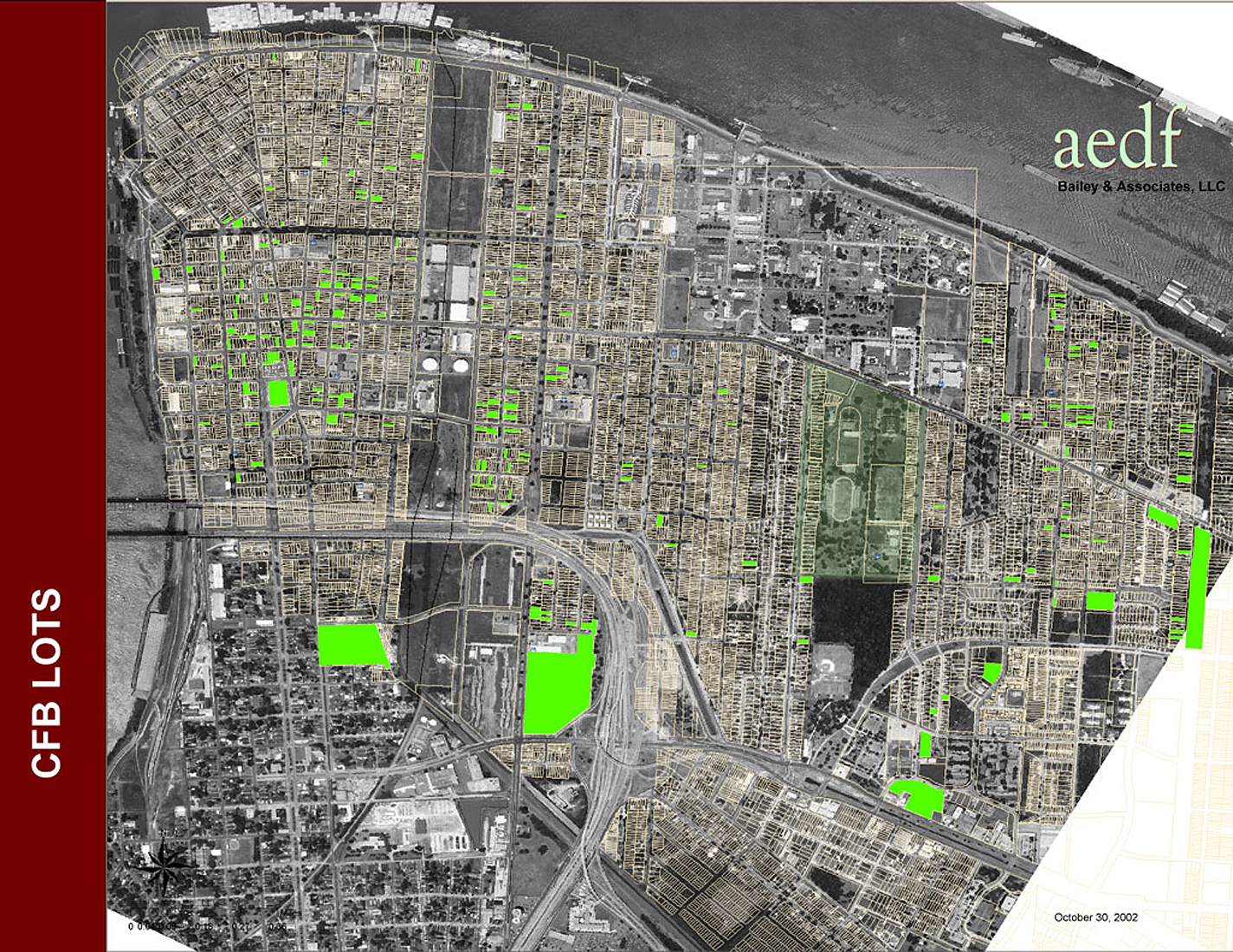
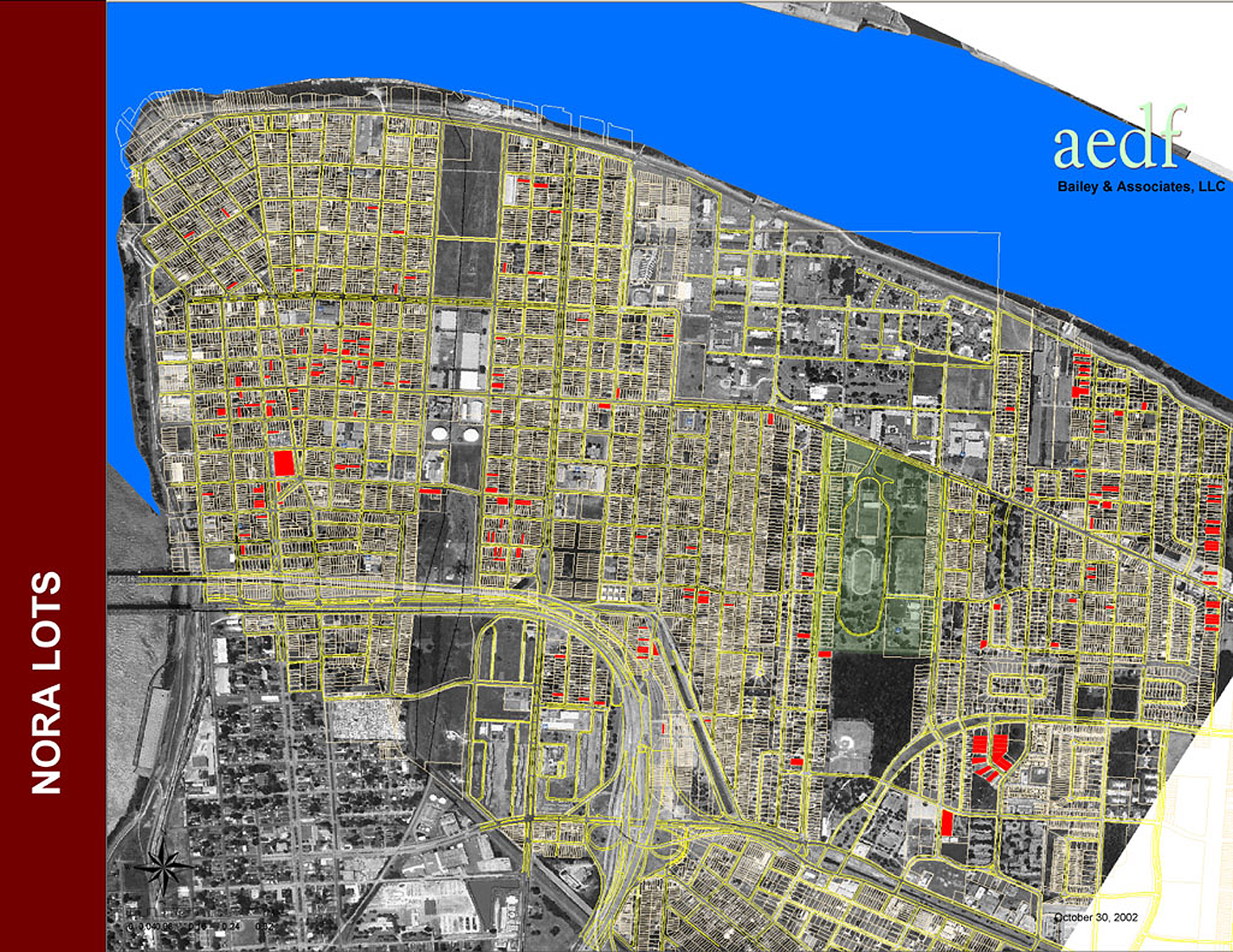
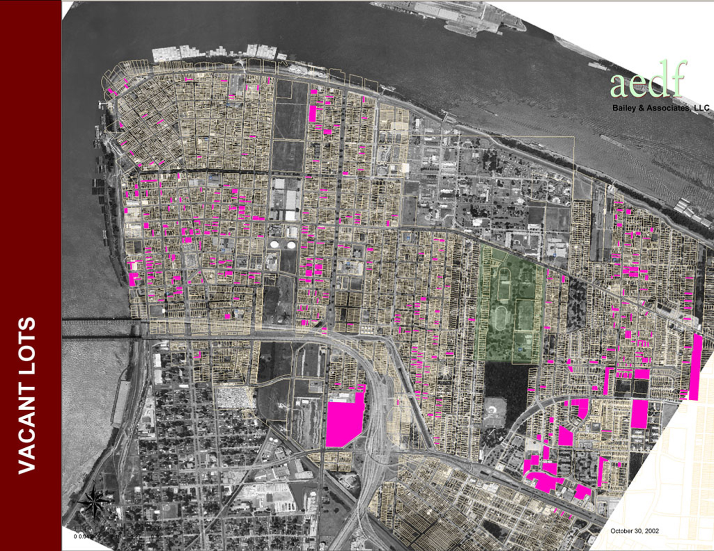
Community Mapping and G.I.S. for the City of Algiers. This project involved the systematic gathering of data for approximately 15,000 properties located in Algiers. By combining an interactive database of information with a graphical map system the public would receive real time access to property information on a parcel / lot basis. This information would be accessible to the general public as a tool to promote new development and create opportunity to redevelop blighted property.

